PROFESSIONAL LAND SURVEYING SERVICES
Bramhall Engineering & Surveying Company has three full time field crews that are equipped with State-of-the-Art field equipment including traditional Trimble S5 Robotic Total Stations and Spectra Precision GPS Units, SP80. We collect information using Spectra Precision Data Collectors. We then take the information collected in the field and analyze it using AutoCAD Civil 3D 2019, Microstation Open Roads Designer with Geopak: Select Series 2.

Our professional surveying services include:
Our professional surveying services include:
- Boundary surveys
- Plats, i.e. subdivision, dedication, vacation, condominium,
- Annexation and rezoning maps
- Topographic and hydrographic surveys
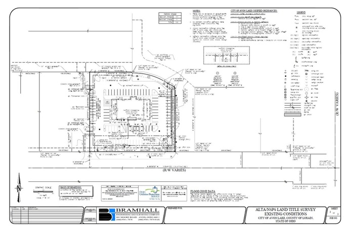
- ALTA/NSPS land title surveys
- Mortgage location surveys
- Construction staking
- Surface modeling and data creation
- Right-of-Way plans (ODOT pre-qualified)
- Easements
- Legal descriptions
- Deed and document record research
- Earth volume and cut/fill calculations
- As-built plan preparation
- Machine control cards